Early Education (Ages 0–5)
Our mission is to provide children and caregivers of all backgrounds with access to high quality Early Education programs and resources so that they have the opportunity to learn about new ideas, skills, and possibilities, as well as a safe space to explore, play, connect, and grow.
Updates
Manager
Araceli Delgado-Ortiz
araceli.delgado@sjlibrary.org
1-408-808-2617

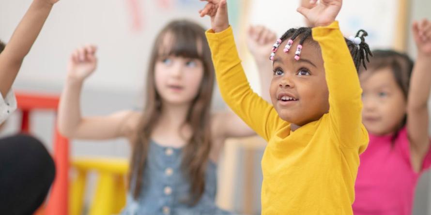
The San José Public Library is hosting a year-long series of community play dates for children ages 0-5.

Join us for artsy fun as we learn about different artists and art styles that have made a major impact on creative thinking in our world.
Take Home Materials & eResources
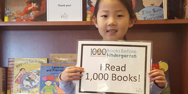
1,000 Books Before Kindergarten
Join the challenge to read 1,000 books with your child before they enter Kindergarten.
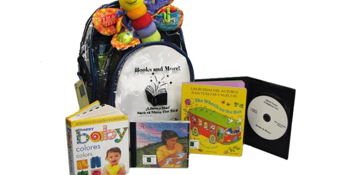
Books and More Bilingual Backpacks
Each bag includes books, toys and a music CD so that you can read, talk and sing with your child.
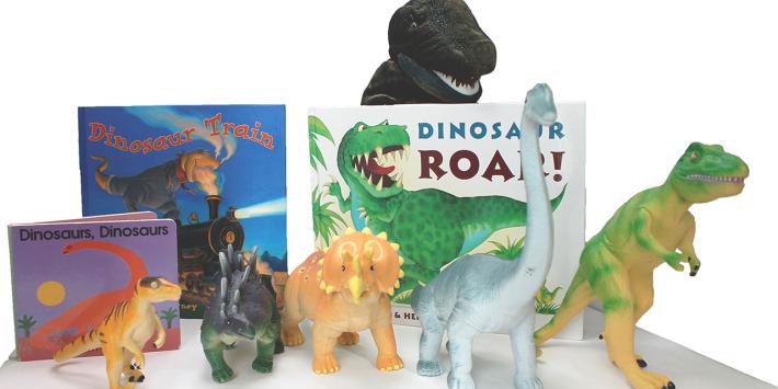
Wee Play & Learn Activity Boxes
Nine different activity boxes include books and educational toys to learn about concepts such as science, shapes, dinosaurs and more.
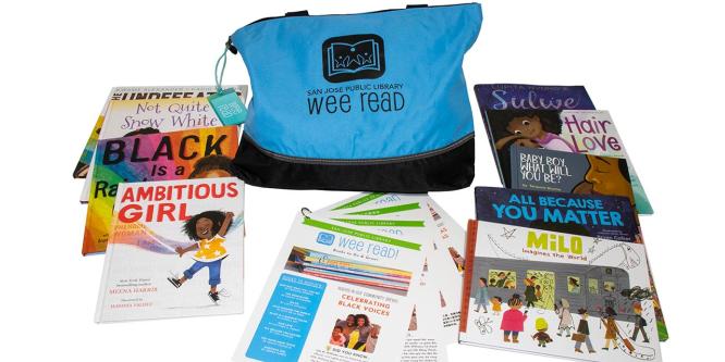
Wee Read! Books to Go and Grow
Each themed bag contains picture books widely reflecting culture, race, gender, family makeup, or ability.
Parents & Caregivers
Resources for Parents & Caregivers
Help prepare your children for school, support their unique learning abilities, keep them safe online, and boost their academic achievement.
Family, Friend, and Neighbor (FFN) Caregivers
Learn about Friends, Family, and Neighbor Caregivers in our community - who they are and why they are trusted.
Ages & Stages
The first 5 years are especially crucial for a child's physical, intellectual, and social-emotional development.
Early Learning Spaces
Early Learning Spaces

Wee Explore PlaySpace at King Library
A destination in the King Library Children’s Room for children to learn through open-ended play and exploration.
Wee PlaySpace at Alum Rock Branch
Inspired by its surrounding neighborhood, the Wee PlaySpace at Alum Rock is a vibrant, city-themed space for families with young children.
San José Bridge Libraries
Multiple Family Resource Center locations offer a Bridge Collection with English, Spanish, and Vietnamese books for young children.
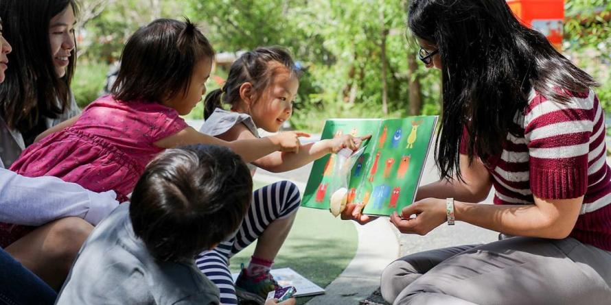
Wee Play
Wee Play San José Stations provide access to learning-based toys and comfortable environments for children and caregivers to interact.
Latest Blogs
Latest Blogs
Celebrate Month of the Young Child with SJPL!
Join us for free, family-friendly activities, music, and storytimes for young children and their caregivers!
A Typical Parent-Child Therapy Day
I share a typical day of parent-child therapy for a two-year-old on the autism spectrum.
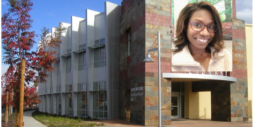
Reading to Children Volunteers at Cambrian Branch
Meet Cambrian Branch's Reading to Children Volunteers, who read to children almost every day!