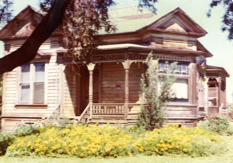
In the 1960s and 1970s, my dad would take Almaden Expressway to work every day. On the trip downtown, he began noticing an old house from the height of an overpass (for trains, and now the Guadalupe Parkway as well). The house was only visible for an instant on a curve, but it caught your eye because of its architecture and the fact that very little paint remained on the long abandoned structure.
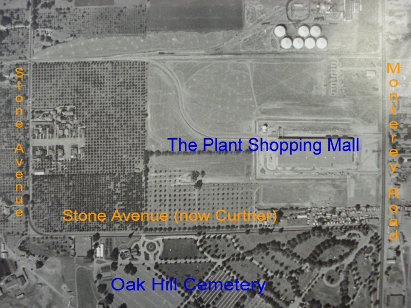
Because you were looking down onto a non-intersecting street, it was hard to see how one might get down to the street below. But my parents’ curiosity eventually got the best of them, and they figured out that the house was located on Stone Avenue, accessible from Curtner Avenue near the Oak Hill Memorial Park.
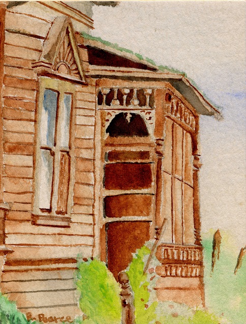
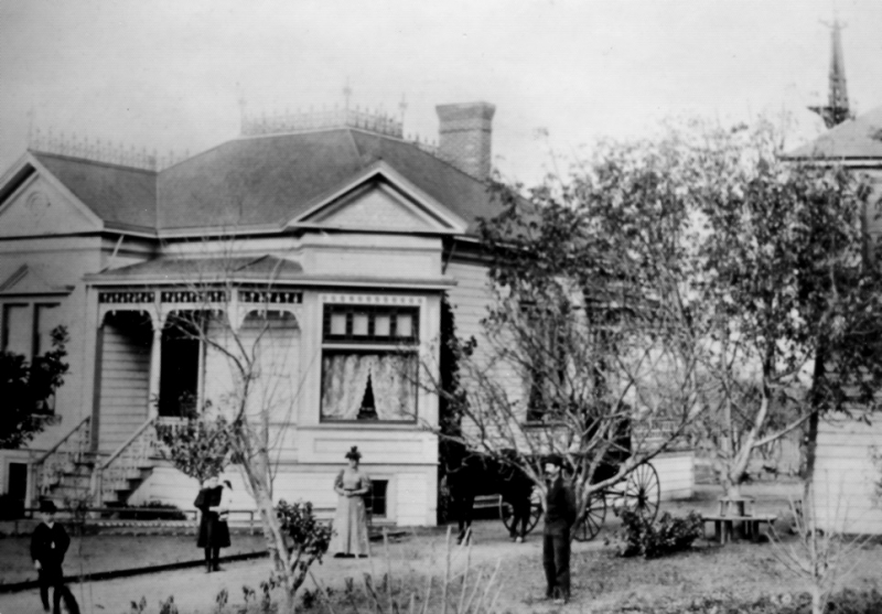
As a teenager in the mid-1970s, I began visiting the house myself to take photographs and paint watercolors. One day an older fellow came over from the house next door to let me know that he owned the old house. His name was Charles Barb Jr. Mr. Barb told me that the house had been built by his grandfather John Barb, an orchardist, and that he’d also done some carpentry work on Sarah Winchester’s house.
Further Reading in the California Room
- Captive of the Labyrinth: Sarah L. Winchester Heiress to the Rifle Fortune by Mary Jo Ignoffo
- California Room Collection: Architecture San Jose
- Aerial Photos: 1931, 1948, 1960, 1968, 1981
- San Jose City Directories & Phone Books

Add a comment to: Looking Back: On the Trail of the Stone Avenue House