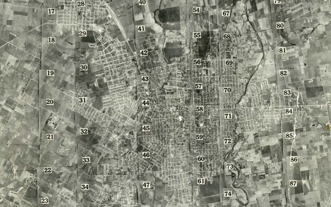
The aerial collection includes oblique and flyover aerials.
About the Collection
These photographs cover central Santa Clara County from Alviso south to Los Gatos, east to the Calero Reservoir, north to Milpitas and the Alameda County Line, and west along the bay to Alviso. The collection includes oblique aerial photographs from the City of San Jose Planning Division, and five sets of vertical images by Fairchild Aerial Photography and the U.S. Geological Survey covering the years 1931, 1948, 1960, 1968, and 1981.
More aerial photography is available from History San Jose and UC Santa Barbara.
The Digital Collection
The digital collection currently includes a representative selection of the aerial photographs from the California Room. New images are added to the collection as they are digitized.
For information about using images from this collection, contact the California Room.
